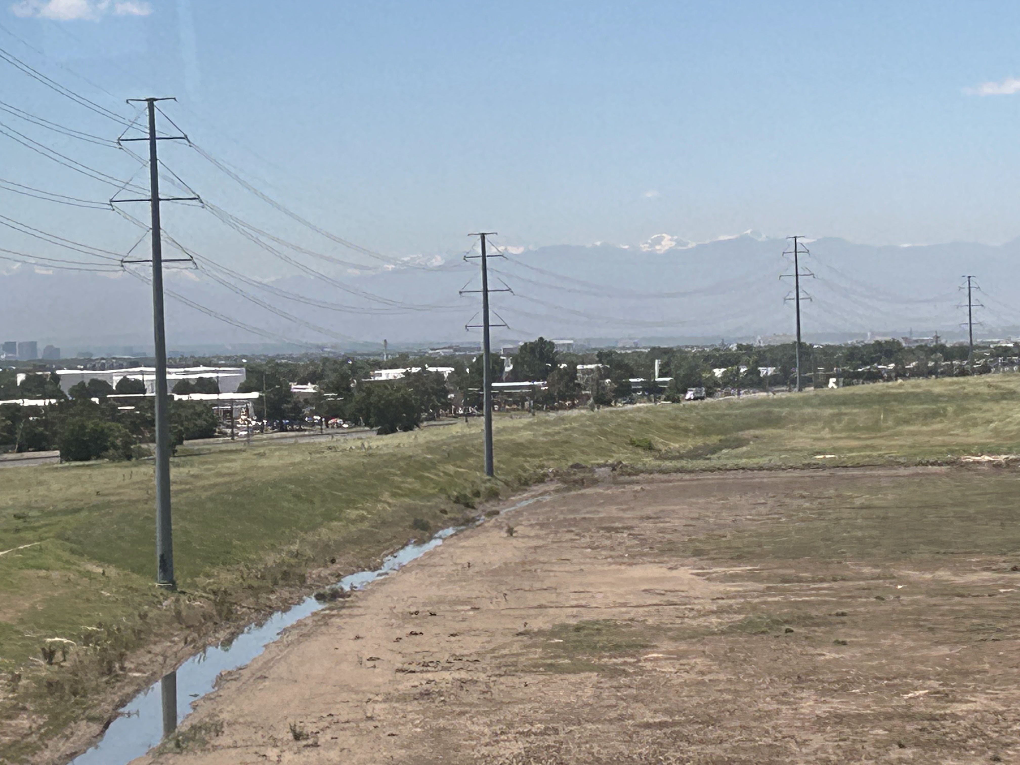
The geography here is also just fascinating - it basically goes from the flat plains to STRAIGHT UP. I think this is the South Table Mountain near Golden that you can see from I-70.
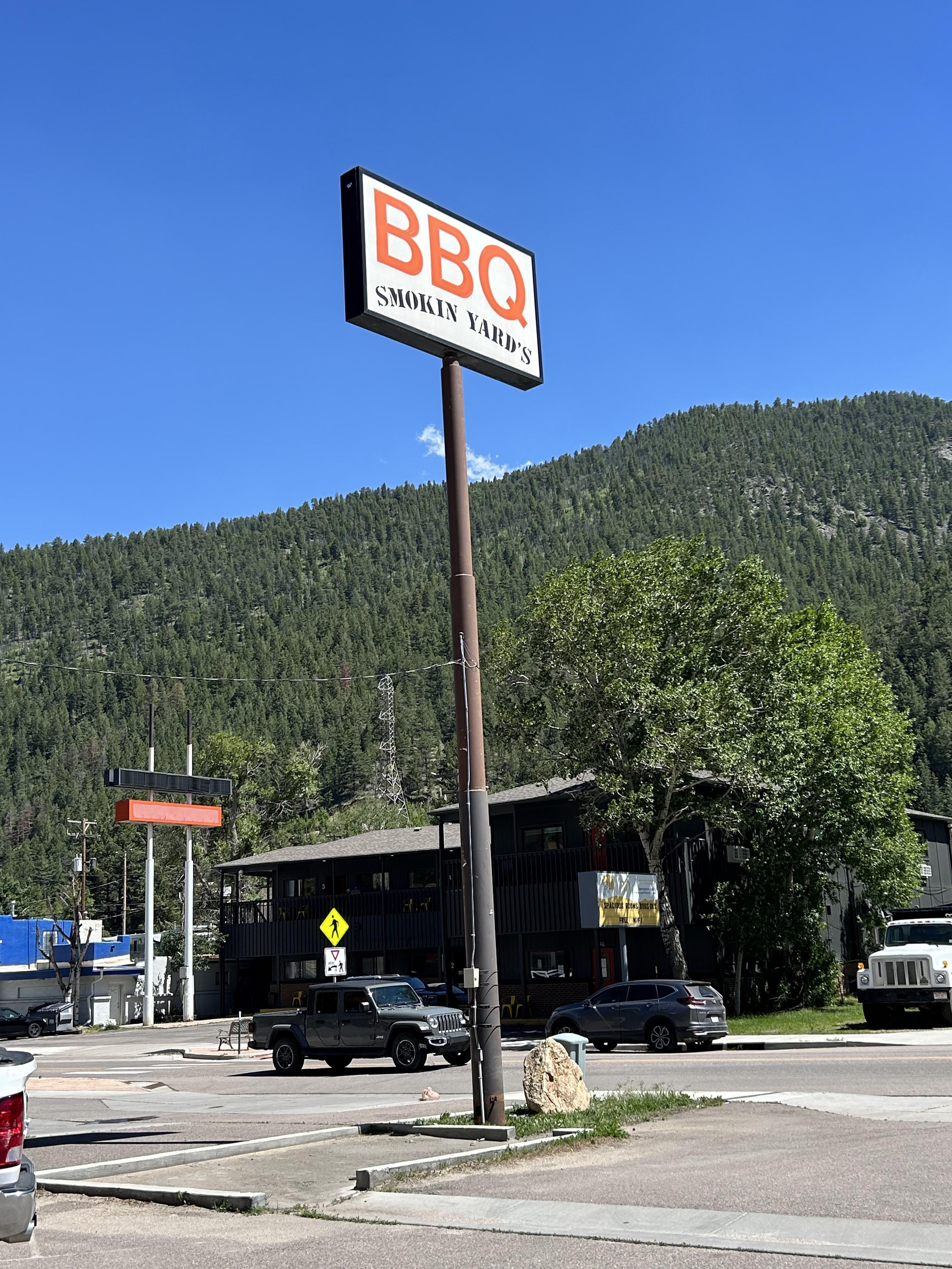
We wanted to fill our bellies before we went to the peak, so our first stop was Smokin' Yards BBQ in Idaho Springs, Colorado.
After we ate our very late lunch at Smokin' Yards BBQ, we headed up the mountain. You have to drive several miles just to get to the entrance of the Mount Evans area (and you need to pay - preferably in advance because it's easier). You get to the welcome station at around 10,000 feet, just past Echo Lake.
Summit Lake Park, which still has ice on it in late June, is the highest city park in North America! There are even rare alpine plants that are only found here and in the Arctic (in the entire world!) There is actual Arctic tundra here!
After Summit Lake, you REALLY start to head up. There is still snow melt going on here, so at one point, we were driving through what felt like a river, and all of the floodplain management geeks in the car were yelling "floodway!" (Ok. It was me. I was yelling this.)
Are you kidding me with this view? Wait, I'm almost as high as the clouds! We were hoping to see some of the 100 or so goats that live somewhere between Mount Goliath and the Mount Evans summit. The sign at the entrance gate said there might be some up here on this particular day! But we were all skeptical.
And wouldn't you know it? As soon as we reached the summit, there was a goat there waiting for us! (He's between the two bigger rocks - although he's about the same color as the rocks).
Hello there good sir or ma'am.
A close up of our new goat friend.
The Summit House was built in the very early 1940s and housed a restaurant and a gift shop for tourists visiting the top of Mount Evans. On September 1, 1979, there was a gas explosion at the Summit House, causing the place to burn down. The rock walls remain, but it was never rebuilt.
Watch out, or you might be featured in a Tony Baker animal voice over when one of these goats says, "CRAM!"
I wish I could explain to anyone who has never been to a 14,000 foot mountain what it feels like to be up here. You really cannot breathe. Just getting out of the car and taking a few steps, I was so winded that I had to sit down.
As I have read and as I understand it, the percentage of oxygen is the same up here as it is down at sea level - the air is 20.9% oxygen up here, same as it is down at sea level. However, the actual number of oxygen molecules (and every other molecule) is fewer - so there really is less oxygen up here, but not compared to any other type of gas. Fewer oxygen molecules means lower air pressure - and at 14,130 feet, the air pressure is much lower here. In fact, here, there is only about 60% of the amount of oxygen that we have a sea level!
I found it interested that you can still see the frame of the windows at the Summit House (also known as the Crest House) which has probably been like this for 40 plus years.
Phew. I can FEEL this picture, days later!
In 1992, the Arapaho National Forest (where Mount Evans is located) began to shore up the Summit House, and they turned it into an observation deck. Just so I could stand here and do this, I'm sure!
The ACTUAL summit to Mount Evans is up here. Its another 130 feet up (or 1/4 of a mile as you twist around the summit) to get there, which we all decided was a very bad idea, considering we needed to take frequent breaks to sit down and we hadn't left the parking lot. None of us had the right shoes, either (there was snow and ice on the pathway up.)
Our Region 5 chief John (yes, the one wearing shorts) decided to walk around the Summit House to see if there were any other goats on the other side (there were).
Let's talk about the real hero of the day though - that bottle of blue Gatorade! Oh, and it was absolutely freezing up here. The air temp wasn't too bad - somewhere around 50 degrees. But the wind was HOWLING. We were all leaning into the wind and it was supporting us.
The other girl I was with, Rachel, also had a degree in meteorology - and we both said at almost the same time, "That cloud looks really cool!"
I'm not sure if you can see the snow capped peak in the far distance, right near the center of the picture. (There is a human on the snow trail - go to about 2:00 from the human and you can see it). That's Pike's Peak! Both Mount Evans and Pike's Peak are Colorado 14ers - which means their peaks are both above 14,000 feet. Mount Evans is higher though, and it sits at #14 on the list of highest mountains in Colorado, while Pike's Peak is at #32.
Pikes Peak is at 14,110, while Mount Evans is at 14,130 - or 14,271 if you include the ACTUAL peak above the parking lot. Just a tad bit higher! Mount Evans is actually ranked #41 among the highest peaks in North America, and is ranked 27th among the North American highest major peaks.
That's a lot of mountains out there. And yes, on this particular day, we COULD see for miles. I think it's funny that they have South Park on there!
Finally, we really couldn't take much more of the low oxygen levels, so we decided to head back down the mountain.
Everyone was surprised that they actually plow the roads up here. This road is only open between Memorial Day and Labor Day each year, but of course that is dependent on the conditions.
We could see Echo Lake as we made our way down the mountain. It's well within the tree line area.
Going up and down the mountain, we spotted around 20 prairie dogs. They're super weird and love to lay on the pavement in the middle of the road. Here is one scurrying away from us (on the rock on the left, above).
Hey, there's another prairie dog! (Queue me counting them like the Count from Sesame Street!)
This is Bear Creek, which drains out of Summit Lake. It reminded me of Iceland!
You're supposed to pay to park here if you want to see Summit Lake and use the facilities but we just did a loop around the parking lot. Also, no drones or fireworks!
I snapped this one of the nearly frozen lake from the car- notice the humans in the bottom left, for scale.
We also spotted some Rocky Mountain mule deer on our way down.
The dozens of mule deer down there were grazing above the tree line.
I actually took this picture because there is a goat up ahead, but this picture REALLY gives you a great view of how terrifying the drive is up and down this mountain. No rails, whatsoever!
What's up goat? Say hello to your mother for me!
I mean, they were just RIGHT there next to our car. We had a bunch on the other side of the car but I couldn't get a picture of them.
Going around the Lincoln Lake area was really kind of scary!
Lincoln Lake below, with all of it's boulders that I imagine came down from this very spot where we are driving. 😮
Rocky Mountain Bristlecone Pines are the knotty trees that are found at high altitudes here in Colorado. They're a long living tree- many in this area are around 700 to 1,700 years old.
We all agreed that it was almost eerie to hear near absolute silence among the twisty trees where we stopped at Mount Goliath. There was a very lovely sounding babbling brook that we all wanted to bottle up and take home with us so we could use it as white noise to fall asleep at night.
The Mount Goliath Nature Center is a good spot for a bathroom break and to check out the surrounding area. You can see we have come down a bit in elevation (here we are at 11,503 feet) but we still needed to sit down for a break on our little walk around.
I'm a nerd for survey marks.
Hello very old twisty bristlecone pine tree.
These trees are very picturesque!
The sun was going down behind the mountains so we knew it was time to head back to Denver.
I enjoyed our little break among the interpretive gardens and alpine tundra!
Funny story - on our way back to the city, Rachel announced that the thunderstorm ahead of us was tornadic. And it was in Laramie County, Wyoming. LOL! It's so flat once you get out of the mountains and head east that you can see a storm over 150 miles away!
I had the perfect end to a VERY cool day with a beautiful sunset behind the Rocky Mountains from my hotel. I went to bed promptly at 8:30 - it was an exhausting but amazing day!
Until next time, Rocky Mountains!


No comments:
Post a Comment